
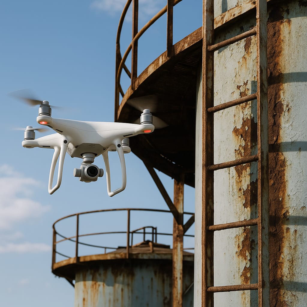
01
Capture More.
High-resolution sensors and stable flight dynamics deliver richer datasets from every sortie.
HDS INDIA
Enterprise-grade drone systems engineered for surveying, mapping, inspection, and mission-critical operations.
HDS India platforms are designed for infrastructure corridors, energy assets, mining sites, and agricultural operations where downtime is costly and data must be defensible. Every flight is engineered for repeatable precision, regulatory compliance, and enterprise-scale deployment.


Support for LiDAR, thermal, RGB, and multispectral sensors with rapid field swap.
Optimized power management for maximum operational efficiency per mission cycle.
Enterprise-grade failsafes, geofencing, and compliance-ready flight logic.
RTK-level positioning for centimeter-accurate mapping and inspection workflows.
01
High-resolution sensors and stable flight dynamics deliver richer datasets from every sortie.
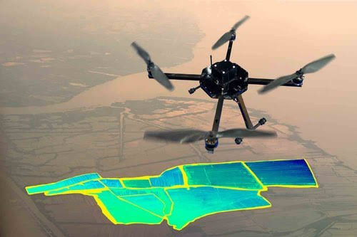
02
Automated mission planning and optimized flight paths reduce time on site without sacrificing coverage.

03
Real-time insights and export-ready deliverables accelerate decisions for critical operations.
0 min
Flight Time
Typical mission endurance
0 kg
Payload Capacity
Modular sensor bay
0 km
Range
Operational link radius
0 m/s
Wind Resistance
Rated operating envelope
0 cm
RTK Accuracy
Horizontal positioning
Automated route optimization with obstacle-aware pathing and regulatory constraints.
Live telemetry and anomaly detection streamed to command centers.
Waypoint missions with precision takeoff, hover, and landing sequences.
Onboard compute for faster insights in disconnected environments.

Bridges, highways, and civil assets inspected with repeatable accuracy.

Transmission corridors and substations monitored safely from the air.

Volume surveys and site monitoring in challenging terrain.
Progress tracking and as-built verification at scale.
Precision spraying and crop intelligence for modern farms.

Rapid aerial assessment for emergency and disaster response.
Platforms built for compliance, auditability, and long-term fleet operations.
From pilot programs to nationwide deployment with consistent support.
Training, maintenance, and mission assistance from certified specialists.
“HDS platforms reduced our inspection cycle time by 40% while improving defect detection across our corridor assets.”
40% faster inspections
Operations Director · National Infrastructure Operator
“RTK accuracy and modular payloads gave us survey-grade deliverables without mobilizing ground crews to difficult terrain.”
Survey-grade accuracy
Chief Surveyor · Mining & Resources Group